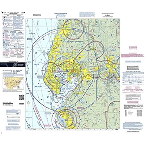
FAA Chart: VFR TAC TAMPA/ORLANDO TTAM (Current Edition)

(1465 reviews)

Price
$7.83

Size
Quantity
(20000 available )

Total Price
Share
1 Ratings
1
0
0
0
0
Reviews
  • Phil

    > 24 hour

    Wanted it to study for Part 107. Exactly what I needed.

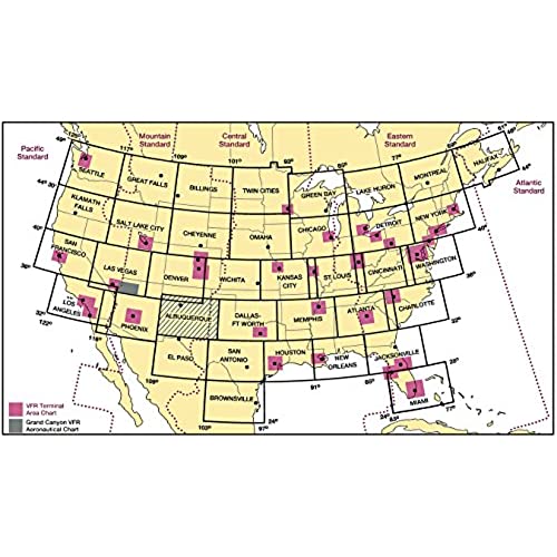
Whether it"s business or pleasure that has you flying down to Central Florida, be sure to throw in the latest version of the FAA"s full-color Tampa/Orlando Terminal Area Chart (TAC) for the ultimate in situational awareness and operational efficiency. While it"s true that Sectional Charts make the most sense for enroute VFR navigation, TACs provide a definite advantage when it comes to operations in congested, Class B airspace. TACs utilize a large (1:250,000; 3.43 nm per inch [1.35 nm per cm]) scale that allows them to depict additional landmarks, important altitudes, radio frequencies, and other noteworthy aeronautical data that"s not feasible to include on sectionals. Additionally, the Tampa/Orlando TAC features a VFR Flyway Planning Chart on the reverse side, which presents flight paths and altitudes to help low, slow aviators steer clear of larger, faster aircraft and designated "no fly" areas.The Orlando/Tampa TAC presents a detailed depiction of the Class Bravo airspace centered around both the Tampa International Airport (TPA) and Orlando International Airport (MCO). As is characteristic of all TAC publications, this chart is revised on a 6-month cycle. An affordable, incredibly helpful tool for top-notch situational awareness and operational safety while aviating around O-Town and/or The Big Guava.

Related products

Shop
( 2693 reviews )
Top Selling Products